

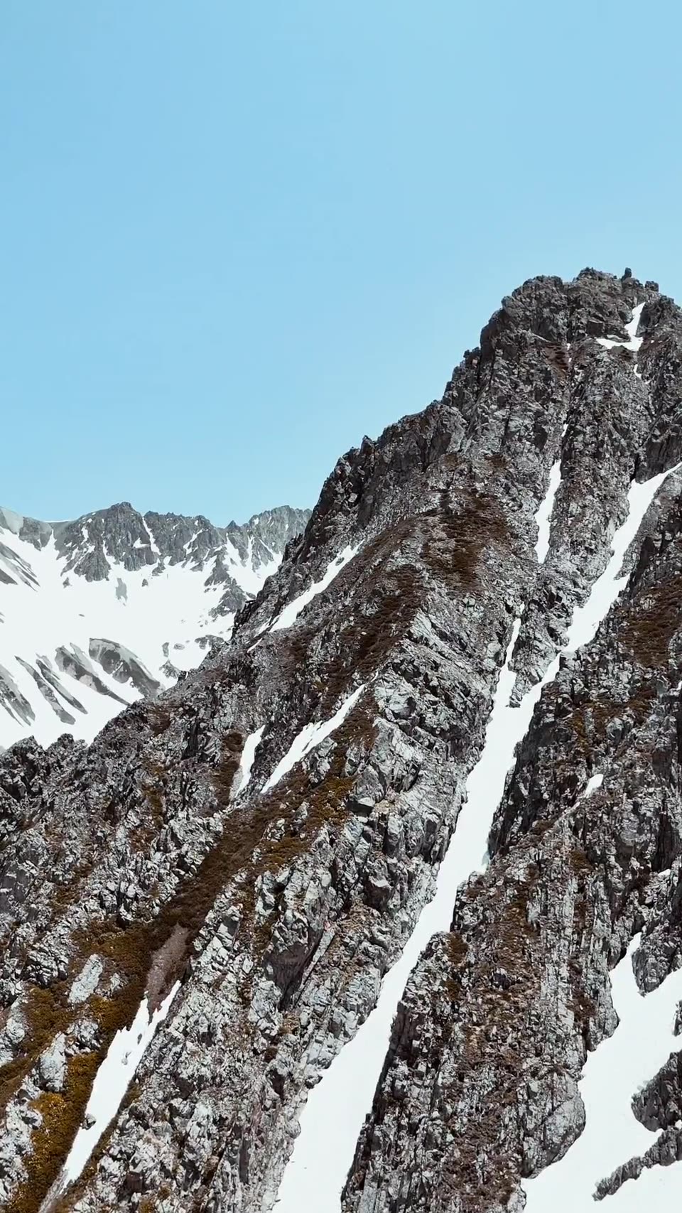
Four scheelite skarn boulders at 1.16, 7.25, 0.43 and 1.17 percent tungsten with 0.07 to 0.24 percent copper. A panned concentrate carrying 231 grains of scheelite.[34]
Boulder frequency rises upstream to 1,000 metres and stops. Denison's report places the source at a rusty granitic dyke at 1,040 metres on the west side of the creek, where the intrusion meets a limestone band.[34]
Denison named the dyke, gave its elevation and put it on a 1:5000 base. Sampling it is a single field day.[34]
Historical exploration identified a source dyke and mineralized float in the drainage. Current tenure and land status require confirmation. The proposed acquisition remains pending exchange review and approval and has not closed.[34]
Rio Grande comprises two mineral cell claims totalling 181.81 hectares over the Canyon Creek drainage, 32 kilometres by logging road west of Seymour Arm on Shuswap Lake, in the Kamloops Mining Division of British Columbia.[34]
Denison Mines funded prospecting on the ground in 1980. The crew traced scheelite-bearing skarn boulders up Canyon Creek with increasing frequency to 1,000 metres elevation, sampled four at 0.43 to 7.25 percent tungsten, and identified a rusty granitic dyke at 1,040 metres as the source. Allegiance is mapping and sampling the dyke in 2027.[34]
Location and infrastructure
Logging road from Seymour Arm on the north shore of Shuswap Lake, which is served by road from Anglemont and by water from Sicamous. Elevations 700 to 1,395 metres. The Trans-Canada Highway and the CPKC mainline pass through Sicamous, 60 kilometres south.[34]
| Year | Operator | Work | Result |
|---|---|---|---|
| 1980 | Denison Mines Ltd. (D.L. Cook, P.Eng.) | Staking of CAN 1 to 6; prospecting; silts; panned concentrates; ultraviolet examination; 1:5000 topographic base | Four float samples to 7.25% W. Scheelite counts of 7, 17 and 231 grains. Source dyke identified at 1,040 m. Assessment report 9169.[34]Sources for this historical record row. |
Geology
Quartz-biotite schists of the Shuswap Metamorphic Complex with bands of marmorised limestone, intruded by porphyritic biotite quartz monzonite of probable Cretaceous age. Granitic dykes cut the metasediments beside the intrusion. Faulting along the northwest-striking southern contact has produced intense fracturing and folding.[34]
Mineralisation
Scheelite and chalcopyrite in pyrrhotite-rich garnet-diopside skarn. Boulders occur in and along Canyon Creek with rising frequency to 1,000 metres. Denison matched the float to a rusty granitic dyke at 1,040 metres on the west side of the creek, where the intrusion meets a limestone band.[34]
| Sample | Elevation | W % | Cu % | Au oz/t |
|---|---|---|---|---|
| 12 | 701 m | 1.16 | 0.16 | 0.002[34]Sources for this historical result row. True widths unknown. |
| 13 | 759 m | 7.25 | 0.07 | 0.002[34]Sources for this historical result row. True widths unknown. |
| 14 | 960 m | 0.43 | 0.24 | 0.002[34]Sources for this historical result row. True widths unknown. |
| 15 | 700 to 1,000 m composite | 1.17 | 0.14 | 0.002[34]Sources for this historical result row. True widths unknown. |
Values are percent tungsten. Float samples are selective by nature and are not representative of the grade of any mineralised zone.
Float, 1980. Four boulders selected for scheelite fluorescence and chalcopyrite.[34]
Stream, 1980. Scheelite counts of 7, 17 and 231 grains at three panned sites. Silt tungsten to 15 ppm.[34]
Historical results were collected and reported by operators unrelated to Allegiance Resources Corp. The Company has not verified these results and is not treating any of them as a current mineral resource or mineral reserve.
1,040 metres, west side of Canyon Creek. Identified as the source in 1980.[34]
The southern contact of the quartz monzonite with limestone-bearing metasediments, along which skarn is interpreted to have formed. Unmapped.[34]
Planned programme
Mapping and prospecting of the west side of Canyon Creek between 950 and 1,100 metres.
Rock sampling of the dyke and the contact.
Soil geochemistry across the contact zone. Ultraviolet prospecting.
Five T's
A 10 kilometre stratabound tungsten belt with an 800 metre mineralised zone at its core