

Historical surface samples reported 16.2 and 14.9 percent WO₃. Historical drilling reported 4.74 percent WO₃ over 2.03 metres, 3.47 percent over 3.04 metres and 4.27 percent over 1.52 metres of core. These isolated results do not represent a deposit's average grade and cannot be compared directly with the average ore grade of an operating mine. True widths are unknown.[32][33]
4,587 metres of diamond and percussion drilling in a single 1981 season intersected scheelite skarn below the discovery. The Creek Zone carries every high grade tungsten drill result on the property.[32][33]
The 1981 geological report mapped mineralised skarn over approximately 200 metres by 200 metres at the discovery. Percussion hole TP-81-40 cut 45 feet of skarn carrying visible scheelite and pushed the surface showing east.[32][33]
Northair's structural model identified skarn horizons repeated by folding and thrusting across eight zones. The 1981 programme concentrated on the Creek Zone. The other seven were tested by a handful of holes or not at all.[32][33]
Induced polarisation identified a chargeability zone of 40 to 55 milliseconds against a background near 3, running northwest along the scheelite trend and extending beyond the drilled area.[32][33]
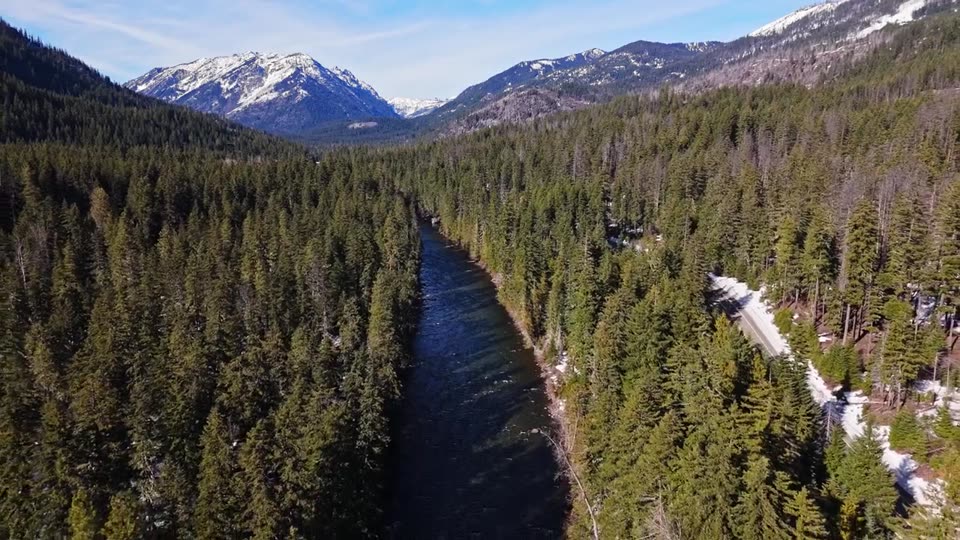
Thanksgiving comprises two mineral cell claims totalling 1,012.49 hectares on Highway 23, 20 kilometres north of Revelstoke, between Hathaway Creek and LaForme Creek on the east bank of the Columbia River.[32][33]
The highest grade tungsten in the portfolio was found because a highway crew cut a fresh face into the rock. Scheelite was discovered in that road cut in October 1980. Within seven months the property had been acquired by Andaurex Resources, optioned to Northair Mines, sampled by Kerr Addison, and surrounded by Noranda claims. Northair completed geological mapping, 730 geochemical samples, induced polarisation and 85 drill holes in the 1981 season. The first three diamond holes at the Creek Zone all hit, returning 3.01 percent WO₃ over 3.54 metres, 4.27 percent over 1.52 metres and 0.89 percent over 2.59 metres, with 4.74 percent over 2.03 metres inside the first.[32][33]
Allegiance holds the complete 1981 archive and is converting it into the first three dimensional model of the deposit.[32][33]
Location and infrastructure
Highway 23, the paved route from Revelstoke to Mica Dam, crosses the property. Logging roads and the historical Mastodon Mine road reach the upper ground. Revelstoke provides full services, a regional airport and the CPKC mainline. The Revelstoke Dam and generating station lie 15 kilometres south. Elevations run from 575 metres at the Columbia River to 1,800 metres in the LaForme Creek headwaters.[32][33]
| Year | Operator | Work | Result |
|---|---|---|---|
| 1980 | Cajac Exploration Ltd. | Discovery in Highway 23 road cut; staking of Thanksgiving 1 to 4; hand trenching over 25 m; sampling | Character samples to 14.9% WO₃ and 7.25% W, equivalent to 9.14% WO₃. Visible scheelite at one to ten percent.[32][33]Sources for this historical record row. |
| 1981 | E.W. Grove, P.Eng., for Andaurex Resources | Geological report; wet chemical analysis; three phase programme | Mineralised skarn over approximately 200 m by 200 m. Samples to 3.54% W, equivalent to 4.46% WO₃.[32][33]Sources for this historical record row. |
| 1981 | Kerr Addison Mines Ltd. | Property examination and sampling | 16.2%, 1.99%, 1.58% WO₃. General Testing Laboratories certificate 8104-2858.[32][33]Sources for this historical record row. |
| 1981 | Northair Mines Ltd. | Mapping; 560 soils; 170 silts; 18 panned concentrates; 35 gravel samples; IP and resistivity; 26 diamond holes, 1,819.58 m; 59 percussion holes, 2,767.59 m | Skarn horizons intersected across eight zones. Creek Zone intercepts to 4.74% WO₃. Assessment report 10041, 439 pages.[32][33]Sources for this historical record row. |
| 1981 | Noranda Exploration Co. Ltd. | Staking of Sal 1 to 11 around Thanksgiving; geochemistry; airborne EM and magnetics | Assessment reports 10091 and 10099.[32][33]Sources for this historical record row. |
| 2010 | Signature Resources Inc. | Airborne VTEM and magnetics over the district | Base metal targeting. Assessment report 31823.[32][33]Sources for this historical record row. |
Geology
Thanksgiving lies within the Omineca Belt on the east margin of the Shuswap Metamorphic Complex. Three packages are in tectonic contact: a lower quartz-biotite schist, an intermediate calcareous unit of calc-silicates, silicified limestone, semipelites and graphitic sediments, and an upper quartz-augen gneiss. A zoned diorite to quartz monzonite stock intrudes the southern property below a major thrust.[32][33]
The packages are folded into a broad asymmetric antiform. Skarn and scheelite develop in the calcareous unit near the antiform crest. Northair's structural model identified an upper thrust plate, graphitic movement zones and tectonic stacking of skarn horizons. The mineralisation is a set of structurally repeated skarn panels across the fold, and the 1981 drilling tested one of them.[32][33]
Mineralisation
Scheelite occurs in garnet-diopside and garnet-epidote skarn developed in calcareous horizons of the intermediate unit. The skarn ranges from 3 to 10 metres wide and grades from silicified limestone through calc-silicate to mineralised garnet-diopside skarn. Scheelite and pyrrhotite occur as disseminations, coarse crystals and streaks in lenses parallel to bedding, with minor pyrite, magnetite and base metal sulphides.[32][33]
At the discovery exposure, garnet-epidote skarn 1 to 2 metres thick carries scheelite at one to ten percent in grains of 1 to 5 millimetres. The high temperature skarn assemblage of garnet, idocrase, diopside, clinozoisite, actinolite, wollastonite and calcite indicates a hydrothermal system driven by an intrusion at depth that has not been located.[32][33]
| Hole | From (m) | To (m) | Width (m) | WO₃ % | Zone |
|---|---|---|---|---|---|
| T-81-1 | 14.03 | 17.57 | 3.54 | 3.01 | Creek[32][33]Sources for this historical result row. True widths unknown. |
| T-81-1 | 15.04 | 17.07 | 2.03 | 4.74 | Creek[32][33]Sources for this historical result row. True widths unknown. |
| T-81-1 | 14.03 | 17.07 | 3.04 | 3.47 | Creek[32][33]Sources for this historical result row. True widths unknown. |
| T-81-2 | 14.63 | 16.15 | 1.52 | 4.27 | Creek[32][33]Sources for this historical result row. True widths unknown. |
| T-81-3 | 12.19 | 14.78 | 2.59 | 0.89 | Creek[32][33]Sources for this historical result row. True widths unknown. |
| T-81-6 | 6.15 | 7.67 | 1.52 | 0.17 | South Limb[32][33]Sources for this historical result row. True widths unknown. |
| T-81-7 | 5.49 | 6.50 | 1.01 | 0.16 | South Limb[32][33]Sources for this historical result row. True widths unknown. |
| T-81-14 | - | - | 0.50 | 0.21 | East Limb[32][33]Sources for this historical result row. True widths unknown. |
Drill intercepts are core lengths. True widths are not known.
Percussion drilling, 1981. 59 holes in 5 foot intervals. TP-81-30 returned 2.44 percent WO₃ over 5 feet in the South-West Limb. TP-81-27 returned 0.26 percent WO₃ over 5 feet in the South Limb. TP-81-40 intersected 45 feet of skarn with visible scheelite, extending the surface showing east.[32][33]
Surface, 1980 to 1981. Kerr Addison: 16.2, 1.99 and 1.58 percent WO₃. Character samples: 14.9 percent WO₃, and 7.25 and 4.65 percent W, equivalent to 9.14 and 5.86 percent WO₃. Grove: 0.23 to 3.54 percent W, equivalent to 0.29 to 4.46 percent WO₃.[32][33]
Geophysics, 1981. Dipole-dipole induced polarisation: northwest-trending chargeability zone of 40 to 55 milliseconds against a background near 3, coincident with the scheelite showings and a resistivity low.[32][33]
Geochemistry, 1981. 560 soils, 170 silts, 18 panned concentrates, 35 gravel samples.[32][33]
Historical results were collected and reported by operators unrelated to Allegiance Resources Corp. The Company has not verified these results and is not treating any of them as a current mineral resource or mineral reserve.
The highest grade tungsten intercepts on the property. Continuity, true width and plunge to be established by modern drilling.[32][33]
Planned programme
Winter 2026. Full digitisation of assessment report 10041 and the Property File. Georeferenced collars, trenches, sample stations and IP lines. Three dimensional model integrating drilling, geophysics and structure.
Collar and trench survey. Resampling of exposures. Modern IP and drone magnetics over the Creek, South Limb and East Limb. Ranked drill targets.
Confirmation drilling to follow.
Golden Scheelite
A past-producing scheelite skarn in Nevada with documented historical results